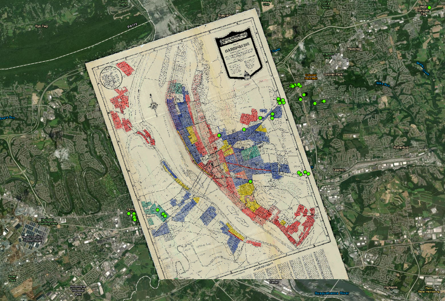
A map of properties (green dots) with known racially-restrictive housing covenants in Harrisburg and surrounding regions in the mid-20th century. The background map is the HOLC property zoning map. The green dots represent only a sample of identified covenants of properties with restrictive covenants. The actual number of such cases must be far more extensive and numerous. For further discussion, see "Tracing the Lines of Racism: The Development of Housing Segregation in Harrisburg, 1900-1968." | Creator: Molly ElspasDownload Original File